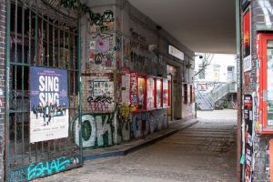
A ten-minute walk from the station to a gig can take more out of you than a fifteen-minute detour if the shortcut has stairs, a busy junction or a stretch of rough pavement. When you compare routes, look at the hardest block first. One awkward crossing or steep descent can matter more than the distance, especially on the way back after a show.
If you’re visiting places tied to Finland’s thrash-metal scene of the late 2000s to the mid-2010s, keep the historical route separate from the one you’ll walk today. A gig flyer can tell you which address was advertised. It can’t tell you which entrance is open now or whether the pavement is cleared in winter.
Start and finish at doors, not map pins
Start your route at the station exit or bus stop you’ll actually use. At the other end, look for the public entrance rather than trusting a pin in the middle of the building. In a large complex, the venue door might be off a courtyard or on a side street. For a former venue, verify the old street address separately from the name of the business there now. Plan to look from a public pavement unless the premises are open to visitors.
Think about what will make the walk manageable. If you’ll be carrying records home, distance might matter most. If standing through a set is likely to tire you out, a gentler slope or somewhere to sit may count for more. Rule out routes that don’t meet those needs before you compare walking times. Saving five minutes won’t help if the shortcut has stairs you can’t comfortably use.
Compare two routes block by block
In walking mode, pull up the shortest route and one realistic alternative. A parallel street or a crossing one block farther along can make a real difference without adding much distance. Zoom in at both ends and at the turns. That’s where the route might switch sides of the street, dip under a road or take a flight of steps you couldn’t see on the wider map.
- Crossings: Check where you’ll cross the busiest roads. A signal or refuge island can make a slightly longer walk easier. Count the crossings along each route rather than judging by the widest road alone.
- Surface and width: Look for continuous pavement and curb ramps you can use. Older street imagery can show cobbles, narrow stretches or paths shared with cyclists, but it won’t tell you if the way is clear today.
- Slopes and steps: Take a close look at ramps, bridges and underpasses. Even a mostly flat walk can have one steep approach. If the step-free route relies on a lift, check that it’ll be available when you need it.
- Places to pause: If you’ll need a break, look for a bench, shelter or another spot you can easily reach and stop at. Check the opening hours before counting on a station lobby or shopping passage.
Double-check anything that could make or break the route. If you can’t tell whether the venue door has stairs or a ramp, ask the venue about that entrance rather than relying on a general accessibility label. Give yourself a few extra minutes for signals, rests and finding the door. The map’s walking estimate may not cover them.
Check the return walk at the hour you’ll take it
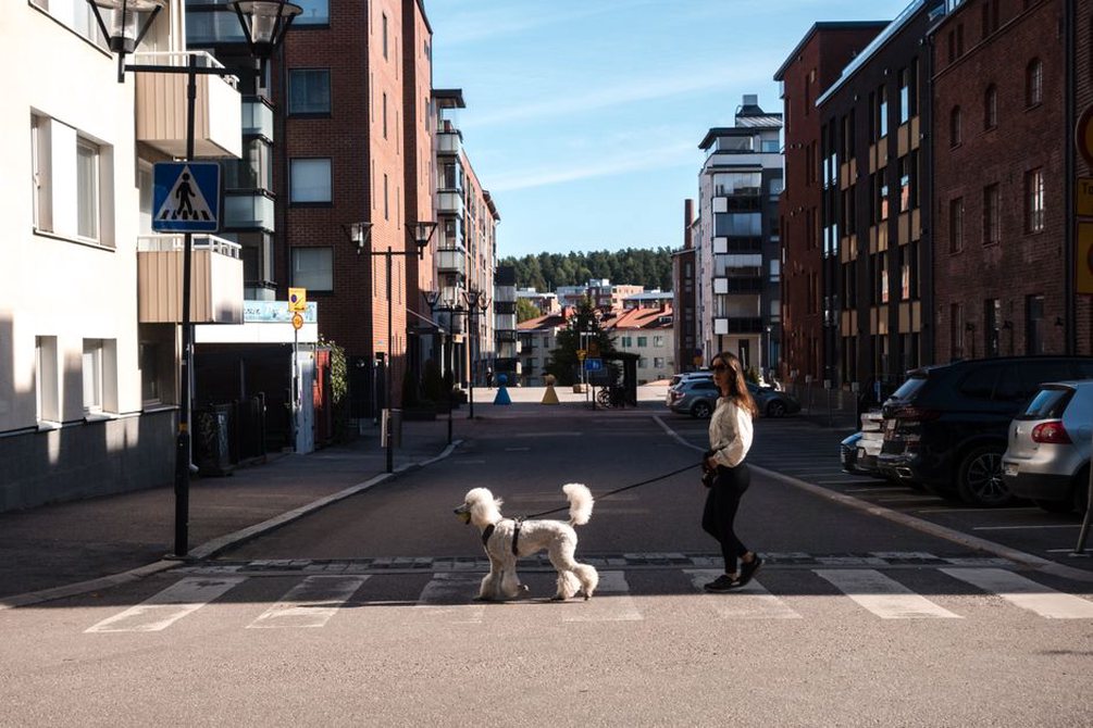
A walk that’s easy in daylight can feel different after a late set. Check which stop serves your trip home; it may not be the one you arrived at. A passage through a station or building might close before the show ends, and the last departure you can actually use may be earlier than the final service listed for that stop. Allow time to get out of the venue and wait at crossings.
Don’t assume a busy street is always the better choice, or that a quiet one will be easier. A main road may be better lit and have clearer junctions, but traffic noise and wide crossings can be tiring. A side street may be calmer yet have uneven pavement or fewer places still open where you can wait. If you fancy the riverside path on the way out but can’t confirm its lighting or winter upkeep, compare it with a street route for the way home.
Recheck after snow or a freeze
In a Finnish winter, slope and surface can matter more than distance. A thaw followed by a freeze can leave ice at the foot of a ramp. Ploughed snow can narrow the pavement or pile up right where you need to cross. A trail that’s fine in dry weather may not be cleared after snowfall. Use local maintenance information where it’s available, but bear in mind that a path listed for winter maintenance may still have a difficult block. Keep an alternative that skips the steepest or least predictable stretch.
Give a historical walk room for stops
If you’re piecing together a walk through the local thrash scene’s history, two documented addresses a few blocks apart can make a better outing than several scattered across town. Check what the evidence supports at each stop. A dated flyer shows where a gig was advertised; a review published at the time or a clearly identified photograph can help establish that it actually happened there. Use a current map to find the building, not to settle the historical record.
Pick a spot out of the flow of foot traffic to read or take notes. The pavement outside a former venue might be narrow, and the entrance may still be busy even if the old frontage is gone. To compare the building with an archival photograph, look for a clear view from a public spot across the road instead of standing in a doorway or stepping back into a cycle lane.
Test the uncertain stretch first
If one stretch is in doubt, you don’t need to rehearse the whole walk. Start at the station exit you plan to use and go as far as the difficult junction or slope. Notice where you slow down, whether you can make it across before the signal changes, and how much effort that same block takes in reverse. If the concern is the late walk back, try it at a similar hour when practical.
Save the landmarks that keep you on your chosen route, not just the destination. If the map’s shortcut takes you up stairs behind the venue, save the street-level entrance and the crossing with traffic lights on the parallel street as separate points. When you reopen the map at the station, you’ll have both points handy instead of being sent back to the stairs.